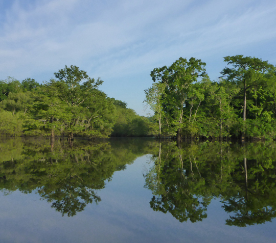
An abundance of recreation awaits on the river
Originating in southern Alabama, meandering south through northwest Florida in Holmes, Walton, and Washington counties, is the ever-changing Choctawhatchee River. The river arises and flows close to 140 miles southward, to eventually empty into the Choctawhatchee Bay.
The Choctawhatchee is alluvial, characterized by a broad floodplain, prone to seasonal flooding, and heavy sediment load. Alluvial rivers are self-formed, meaning their channels are shaped by the magnitude and frequency of the floods experienced, and the ability of these floods to erode, deposit, and transport sediment. The sediment shifts and flooding ensure the river is ever changing. The river receives significant quantities of water source from the Floridan aquifer system, and has both black water and spring-fed tributaries.
Native Americans facilitated the waterway since the1700s for hunting, fishing, and trading. Their goods were traded as far away as Pensacola via the waterways of the Choctawhatchee River, Bay, and Santa Rosa Sound. Through the later 1800s to the mid 1900s, the river was heavily used for commerce such as cypress logging, turpentine trading, and fishing. Cypress dead-head logging continues to this day.
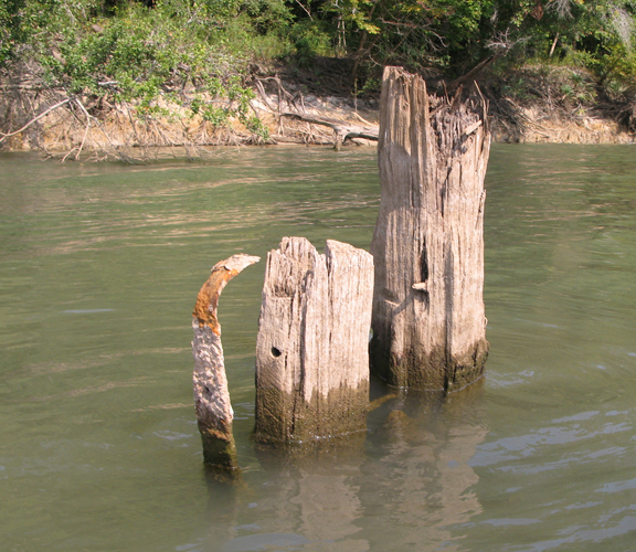
There is evidence of the old commerce along the river such as the relic of the Captain Fritz, a steamboat that made a regular run between Freeport, Point Washington and Pensacola. The boat caught fire while moored at Cedar Tree Landing, untied and remains down river where it sank. Learn more about the Captain Fritz by clicking here.
These days, the river is enjoyed mostly for its vast variety of recreational opportunities.
Northwest Florida Water Management District manages the majority of the recreational accesses and parks along the river. To locate a park, click here.
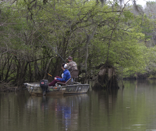
Boating/Fishing:
In general, anglers will enjoy the greatest success fishing when water levels are low and the river is within its banks. There are many small lakes along the backwaters that offer great fishing opportunities as well, offering a variety of species such as bream, bluegill, shellcracker, catfish, largemouth bass, hybrid striped bass, and mullet.
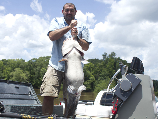
The Choctawhatchee River boasts a bit fishing fame. The Florida State record for blue catfish was caught in 2015, weighing in at 69.50 lbs. The State record for alligator gar was set in 1995 weighing in at 123.00 lbs.
The river serves as a breeding and migratory area for alligator gar and the federally-threatened gulf sturgeon.
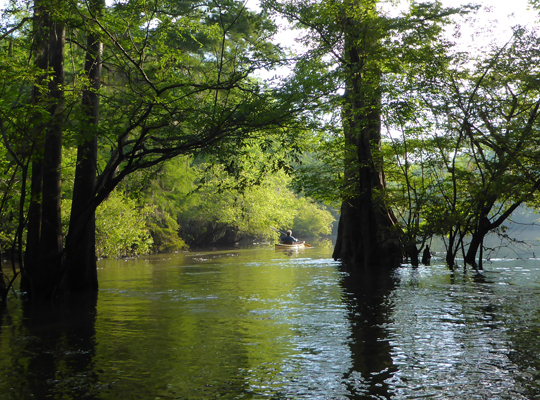
There are many tributaries such as Holmes Creek, Bruce Creek, Morrison Springs run, and chain of lakes that offer calm water opportunities for kayaking, canoeing, and stand up paddle boarding. There are numerous boat ramps on the west and east side of the river. You can easily find a ramp location by clicking here.
The Choctawhatchee River has recently be designated at a Florida Blueway Trail. Learn more by downloading here.
Camping:
Primitive campsites are available along the river at three locations. Dead River and Lost Lake/Tilley Landing on the western bank, Boynton Cutoff Landing on the eastern, offer primitive camping areas with picnic tables, grills, and fire rings. Click here to reserve. Some boaters create their own campsites along the sandy banks of the rivers’ edge.
Springs:
There are several springs that can be accessed from the river and enjoyed by the public. Here is a list in Florida from north to south:
Holmes Blue Spring – Lat/lon: 30.851430000 -85.885850000
Holmes Blue Spring discharges from a triangular opening in limestone at the center of its 40-foot wide pool and continues along a short run to the Choctawhatchee River. The limestone cavity is approximately 6 feet wide and extends at least 5 feet below the bottom of the pool. Apart from the cavity, the bottom of the pool is covered with sandy silt and a handful of snags and logs. A prominent surface boil is visible except under flood conditions. The best time to visit the spring is when the stage at the USGS recorder at Caryville measures 6 feet or less. Accessible only from the river.
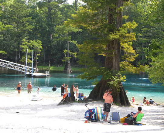
Wrights Creek Blue Spring – Lat/lon: 30.802566667 -85.818891667
Wrights Blue Spring is located in the low floodplain of Wrights Creek 0.6 mile from its confluence with the Choctawhatchee River. According to locals, the spring is usually flooded by flow from Wrights Creek and is only clear blue at very low stages. The vent is located at the southern end of a 200-foot wide shallow pool on the north side of Wrights Creek. Maximum depth recorded was 15 feet. Outcrops of Ocala Limestone can be seen scattered throughout the surrounding cypress and tupelo hammock.
Morrison Springs – Lat/lon: 30.657928611 -85.903931667
Morrison springs is a magnitude 2 spring, An estimated 48 million gallons of crystal clear water each day and has been recorded to produce up to 70 million gallons a day. Three cavities allow Morrison’s frigid waters to surface from the underground aquifer. The deepest of these cavities, at approximately 300 foot in depth, eventually terminates in an underground chamber of unknown dimensions. Approx. ½ mile to the river. Morrison Springs is the only spring along the Choctawhatchee River that offers a recreation area accessible by land. Accessible only from the river.
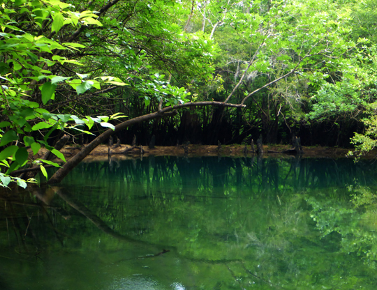
Potter Spring – Lat/lon: 30.523832778 -85.844026111
Potter Spring is located off Mill Branch north of Mill Lake. The spring vent is an opening in limestone approximately 10 feet in width in the center of a circular 50-foot pool. Maximum depth recorded in the spring vent was 29 feet. The sides of the spring pool consist of a steep grade of sediments and woody debris. Located adjacent to private property. Accessible only from the Choctawhatchee River.
Washington Blue Spring – Lat/lon: 30.513258333 -85.847186111
This popular spring is located 0.8 miles up Mill Branch Spring Run from the Choctawhatchee River south of the confluence with Holmes Creek. The spring discharges from a 10-foot wide opening beneath a limestone ledge at the west edge of a 60-foot wide bowl-shaped pool. Steep sandy clay banks rise to approximately 20 feet to the south and west while the east and north consist of low cypress and tupelo wetlands. The spring discharge pushes a prominent surface boil. Located adjacent to private property. Accessible only from the Choctawhatchee River.
Hunting:
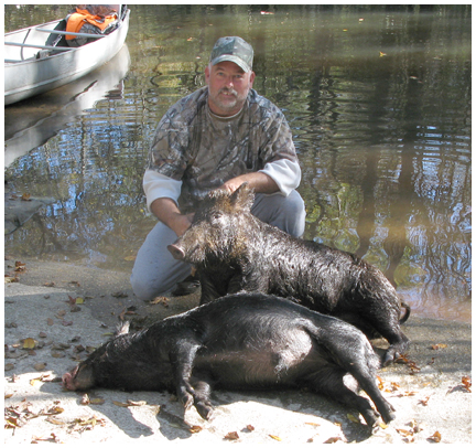
Hunting is popular along the Choctawhatchee River. Feral hog, deer, duck, alligator, and small game are commonly found. Hunting is regulated by Florida Fish and Wildlife Conservation Commission (FWC) in designated wildlife management areas. To hunt on wildlife management areas (WMAs), you must possess a management area permit and a hunting license, (and often other permits depending on species and season), unless exempt. Limited entry/quota permits are required on WMAs during certain time periods. They can only be applied for during the scheduled application periods. The worksheets with the hunt choices and hunt dates are usually posted about two weeks before the permit application period opens. For more information, click here.
Fauna and flora:
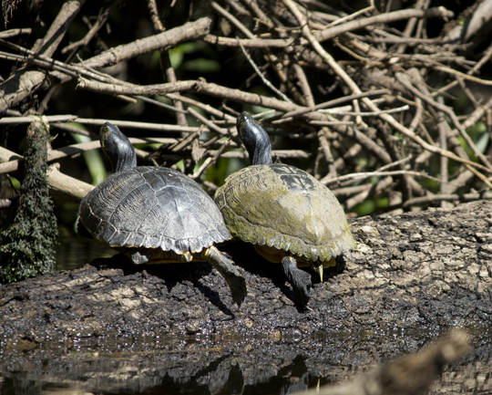
There is an abundance of wildlife along the river as most of its banks are undeveloped. Alligator, feral hog, white tailed deer, raccoon, opossum, turkey, snakes, and a variety of raptors and songbirds can be found. The flora includes tupelo, cypress, magnolia, willow, laurel oak, Florida maple, yaupon holly, rhododendron, and water lily to name a few.
Great video of a Trip Smith’s 118 mile journey from Geneva, AL. to the Bay on the Choctawhatchee River in his Gheenoe.
